
Kauai Hikes: 15 Trails Compared, and What's Open After Lowell
By Rick Kennerknecht · Updated October 22, 2026 · 11 min read
Hurricane Lowell recovery (as of October 21, 2026): Haena State Park reopened October 15 (reservations required), but Kokee and Waimea Canyon state parks, most other Kauai state parks, the Kalalau Trail past mile 2, all state camping, and Secret Falls remain closed, and Port Allen's small boat harbor is only partly open. See our what's open on Kauai page, and check DLNR state parks, openkauai.org, and your tour operator before you go.

Here's the honest picture for Kauai hikes this fall: one famous trail is open, and most of the rest are not. Hurricane Lowell hit the island in September 2026, and as of October 22 the state still had nearly every forest trail on Kauai closed, along with Kokee and Waimea Canyon state parks. The first two miles of the Kalalau Trail, out to Hanakapiai Beach and up to Hanakapiai Falls, reopened with Haena State Park on October 15.
This guide does two jobs. It gives you the real numbers for the best hikes in Kauai (distance, climb, difficulty, permits) so you can plan a future trip, and it tells you plainly which trails you can legally walk right now. Every status below is dated. Check it again the week you fly, because reopenings are coming in stages.
Current status (October 2026): what's open and what isn't
Two official notices drive almost everything. DLNR's September 30, 2026 notice says all Kauai forestry and wildlife lands and trails are closed to the public, except Mana Plains Forest Reserve, a few hunting areas, Keahua Arboretum up to the parking lot, and Waimea Canyon accessed from the canyon bottom. The State Parks notice dated October 19 adds that Kokee Road remains closed, all Kauai camping is closed, and every Kauai state park except Haena and part of Wailua River is still closed.
| Area or trail system | Who manages it | Status | What it means for you |
|---|---|---|---|
| Haena State Park, Kalalau Trail miles 0 to 2 | DLNR State Parks | Open since Oct 15, 7 a.m. to 6:45 p.m. | Hanakapiai Beach and Falls day hikes allowed with a reservation |
| Kalalau Trail past mile 2, Na Pali camping | DLNR State Parks | Closed until further notice | No Hanakoa, no Kalalau Beach, no camping permits honored |
| Kokee and Waimea Canyon state parks | DLNR State Parks | Closed; Kokee Road closed | Awaawapuhi, Nualolo, Pihea, Alakai, Canyon Trail all off limits |
| Forest reserve trails (Na Ala Hele) | DLNR Forestry and Wildlife | Closed except listed areas | Nounou (Sleeping Giant), Kuilau, Moalepe, Okolehao and Kukui are closed |
| Wailua River State Park | DLNR State Parks | Partly open since Sept 21 | Paddle and land at the trailhead; hiking past it and Secret Falls closed |
| Ke Ala Hele Makalae coastal path | County of Kauai | Open; no Lowell closure notice found | Flat, paved, easy walking or biking on the East Side |
| Hideaways trail, Princeville | County of Kauai | Reopened Sept 24 after rehab work | Short, steep, roped descent; tiny parking lot |
| Queen's Bath, Princeville | County of Kauai | Gate locked for winter high surf season | Don't go around it |
| Mahaulepu Heritage Trail, Poipu | Private land (Grove Farm), public walking access | Not confirmed after Lowell | No closure notice found; ask locally before you go |
Our resort status tracker covers hotels. For trails, DLNR also updates the OuterSpatial app, which is the fastest way to check a single route.
Best hikes in Kauai: the full attribute table
These are the trails people ask us about most, with figures from DLNR State Parks trail pages wherever the state publishes them. Where DLNR doesn't, we used the U.S. Fish and Wildlife Service, Go Hawaii or HawaiiGuide and say so in the notes below. All distances are round trip.
| Hike | Region | Distance (round trip) | Elevation gain | Difficulty | Permit or reservation | Status Oct 2026 |
|---|---|---|---|---|---|---|
| Hanakapiai Beach (Kalalau Trail) | North Shore, Haena | 4 miles | No official figure; steady ups and downs | Moderate | Go Haena entry ($5) plus parking ($10) or shuttle | Open |
| Hanakapiai Falls | North Shore, Haena | 8 miles | About 760 ft past the beach | Strenuous | Same Go Haena reservation | Open |
| Kalalau Trail to Kalalau Beach | Na Pali Coast | 22 miles | 800 ft per DLNR; almost never level | Difficult | Na Pali camping permit | Closed past mile 2 |
| Nounou East (Sleeping Giant) | East Side, Wailua | About 3.5 miles | Almost 1,000 ft | Moderate | None | Closed |
| Kuilau Ridge | East Side, Keahua | About 4 miles | About 760 ft | Easy to moderate | None | Closed |
| Moalepe | East Side, Wailua Homesteads | About 4 to 5 miles | About 570 ft | Moderate | None | Closed |
| Uluwehi (Secret) Falls | East Side, Wailua River | Kayak plus jungle walk | Low | Moderate | State park fees for non-residents | Closed past the landing |
| Okolehao | North Shore, Hanalei | About 4 miles | About 1,250 ft | Difficult, muddy | None | Closed |
| Awaawapuhi | West Side, Kokee | 6.2 miles | 1,180 ft | Difficult | Kokee park fees | Closed |
| Nualolo | West Side, Kokee | 7.6 miles | 1,566 ft | Difficult | Kokee park fees | Closed |
| Pihea and Alakai Swamp | West Side, Kokee | About 7 to 8 miles | Under 350 ft per DLNR, but deep mud | Moderate to difficult | Kokee park fees | Closed |
| Canyon Trail to Waipoo Falls | West Side, Kokee | 3.4 miles | No official figure | Moderate | Kokee park fees | Closed |
| Kukui Trail | West Side, Waimea Canyon | 5 miles | 2,240 ft | Difficult | Camping by permit only | Closed |
| Mahaulepu Heritage Trail | South Shore, Poipu | About 4 miles | Low, coastal bluffs | Easy to moderate | None | Not confirmed |
| Ke Ala Hele Makalae coastal path | East Side, Lihue to Kapaa | Up to 8 miles of path in two segments | Flat | Easy | None | Open |
A few notes on the numbers. DLNR's Kalalau and Pihea elevation figures look low because they measure net gain, not the constant climbing and dropping you'll feel. Kuilau's gain comes from HawaiiGuide, Okolehao's from the U.S. Fish and Wildlife Service's Hanalei refuge page, and Moalepe's from mapping apps, since the state doesn't publish one. Third-party apps often disagree by a mile or more, usually because some list one-way distances.
Hanakapiai: the Kauai hike you can do right now
The Kalalau Trail starts at Kee Beach at the end of Kuhio Highway (Route 56). DLNR describes the 11-mile trail as graded but almost never level, and the first 2 miles to Hanakapiai Beach make the classic day hike. The state's Kalalau Trail page says to allow 3 to 4 hours round trip to the beach, and a full day for the 8-mile round trip to Hanakapiai Falls, a ribbon of roughly 300 feet at the back of the valley.
How to get in
- Book a Go Haena reservation on the official Go Haena site. Out-of-state visitors pay $5 per person for entry and $10 per vehicle for parking. Hawaii residents with ID enter free.
- Plan on the shuttle from the Waipa Park and Ride in Hanalei. In late October the Go Haena conditions panel showed no self-parking, so book the shuttle; HDOT reopened Kuhio Highway from Hanalei to Kee to all traffic on October 21.
- Arrive early. The park is open 7 a.m. to 6:45 p.m., and the falls hike needs most of that window.
- Turn around at Hanakapiai Beach or the falls. Hiking past the two-mile point is closed, and even in normal times it requires a camping permit.
Don't swim at Hanakapiai Beach. DLNR's trail page says drownings occur there regularly, with rip currents worst in winter. The stream crossing at the beach is the other hazard; more on that below. Our Na Pali Coast guide covers boat and air options if you want to see the cliffs beyond mile 2, and the North Shore guide covers Hanalei logistics.
Fall timing: on October 21 the sun set at 6:07 p.m. in Lihue, and the earliest sunset of the year, 5:53 p.m., comes in late November. If you start the falls hike after 10 a.m., you're cutting it close. Carry a headlamp anyway.
Kauai hiking by region: what you're missing, and when it comes back
West Side: Kokee and Waimea Canyon
This is the big loss for now. In normal times Kokee holds the island's best ridge hikes. Awaawapuhi drops 3.1 miles one way to a railing on a ridge at 2,500 feet, with DLNR warning that the fall to the valley floor beyond it is over 2,000 feet. Nualolo is longer and steeper. Pihea starts at Puu O Kila Lookout and links to the Alakai Swamp boardwalk, which ends at the Kilohana vista above Wainiha and Hanalei valleys when fog allows. The Canyon Trail reaches the top of Waipoo Falls. All of it sits inside parks DLNR lists as closed until further notice. Our Waimea Canyon guide will be the place to start when Kokee Road reopens.
East Side: Sleeping Giant, Kuilau and Moalepe
Nounou Mountain, the Sleeping Giant, has three trails, and the East trail is the classic: about 3.5 miles round trip with almost 1,000 feet of climbing to a picnic shelter on the giant's chest. Kuilau Ridge, an old fire road near Keahua Arboretum, is the easy family walk, about 4 miles round trip to a picnic table and Makaleha Mountain views. Moalepe climbs from Olohena Road through pasture and meets Kuilau. All three are forest reserve trails, and none is on DLNR's open list. Keahua Arboretum itself is open only to the parking lot. See our Kapaa guide for what's nearby while they're closed.
North Shore: Okolehao and the Princeville bluffs
Okolehao climbs the ridge above Hanalei to views over the bay, about 4 miles round trip with roughly 1,250 feet of gain, per the U.S. Fish and Wildlife Service. It's a Na Ala Hele trail, so it's closed under the September 30 order. In Princeville, the county reopened the Hideaways trail on September 24, but the Queen's Bath gate is locked for the winter surf season. Read our Queen's Bath guide before you even think about it in summer.
South Shore: Mahaulepu
The Mahaulepu Heritage Trail follows limestone sea cliffs east from Shipwreck Beach, next to the Grand Hyatt, toward Mahaulepu. Most guides put the walk at about 4 miles round trip. It crosses private Grove Farm land under a good-faith arrangement, not a legal easement, and Grove Farm closed its vehicle road to Mahaulepu in 2020. We couldn't find any official statement on the trail's condition after Lowell, so treat it as unconfirmed, stay on the path, and respect any signs. Our Poipu guide covers the area.
What to hike in Kauai right now
If your trip is in the next few weeks, build around these. All were open, or at least not under any closure notice we could find, on October 22, 2026.
- Hanakapiai Beach or Falls. The one real trail day available. Book Go Haena as soon as your date opens.
- Ke Ala Hele Makalae. Go Hawaii describes it as eight miles of paved path in two segments: Lydgate Beach Park to Wailua Beach Park, and Kapaa north toward Ahihi Point. Flat, stroller friendly, and good at sunrise. Bikes rent in Kapaa town.
- Hideaways, Princeville. Short and steep with ropes, and the lot has about nine spaces. Skip it in big surf.
- Mahaulepu Heritage Trail. Only after you've checked locally that it's passable.
- Garden walks. Limahuli Garden reopened October 15 (Tuesday to Saturday, shuttle access), and NTBG's Allerton and McBryde gardens run reserved tours from the Lawai visitor center, which reopened October 19. Our botanical gardens guide has details.
Want the canyon without the trail? A helicopter flight is the only way to see Waimea Canyon and the full Na Pali Coast until the parks reopen. The things to do in Kauai page lists what else is running.
Hiking in Kauai safely: floods, streams, mud and leptospirosis
Kauai trails can turn dangerous fast, and storm damage adds hazards you can't see from the trailhead. The basics:
- Flash floods. Rain far up the valley can raise a stream fast while it's sunny where you stand. DLNR says the upper Hanakapiai Falls trail should be hiked only in good weather because of flash floods and falling rocks.
- Stream crossings. If water is rising, brown or loud, don't cross. Wait. The National Weather Service notes Hawaii streams usually drop fairly quickly once rain stops.
- Leptospirosis. The Hawaii Department of Health says the bacteria live in freshwater streams and ponds contaminated by animal urine and enter through cuts, eyes, nose or mouth. Its advice: don't swim or wade in fresh water, especially with open cuts. See the state leptospirosis page.
- Mud. Red dirt turns slick after rain, and Pihea and Alakai carry DLNR mud warnings even in good years. Wear shoes with real tread.
- Cliffs and railings. At Awaawapuhi and Nualolo, DLNR warns not to go past the railings. The ground is unstable.
- Daylight. Fall sunsets come around 6 p.m. Turn around with time to spare.
- Closures. Don't go around a gate or sign. Downed trees and undercut tread may sit a mile up the trail, and a rescue pulls crews off storm recovery.
What to bring on a Kauai hike
- At least 2 liters of water per person for Hanakapiai Beach, more for the falls. There's no drinking water on the Kalalau Trail.
- Shoes with grip, not sandals. Many hikers carry a second pair for the drive home.
- A light rain shell. Showers move through windward valleys most days.
- Sun protection, a hat and reef-safe sunscreen.
- A headlamp, a small first aid kit and a charged phone.
- Snacks and a bag to pack out all trash.
- Your Go Haena confirmation and ID, saved offline.
DLNR's Na Pali gear list adds insect repellent and rain gear, and asks hikers to clean mud off shoes before and after to slow the spread of Rapid Ohia Death, a fungus killing native ohia trees.
Guided hikes on Kauai
A guide is worth it if you want local knowledge, a driver, or help picking a legal route this season. Kauai Hiking Tours, based in Koloa, runs private hikes and says it's permitted by DLNR to lead tours on state land. Its custom tours start at $450 for up to four guests, and its signature Na Pali cliff-top and Waimea Canyon hike starts at $850, though that route is in the closed Kokee area for now. Ask any guide exactly which trails they're cleared to use right now.
Two rules to know. DLNR doesn't allow commercial guided use on the Pihea and Alakai Swamp trails, and commercial guided camping on the Na Pali Coast is illegal. If someone sells you either, walk away. For a gentler guided outing, the NTBG garden tours are running.
Kauai hiking by season
The National Weather Service treats October through April as Hawaii's wet season. North Shore trails like Hanakapiai stay muddy year round, and winter surf makes Hanakapiai Beach more dangerous. West Side ridge trails are usually drier. Our best time to visit Kauai guide has monthly rain by region if you're planning a spring or summer trip around Kokee.
Frequently Asked Questions
Yes, but options are limited. As of October 22, 2026, the Hanakapiai Beach and Falls day hikes from Haena State Park are open with a reservation, and the paved coastal path on the East Side is usable. Most forest trails and the Kokee and Waimea Canyon parks remain closed.
Keep planning
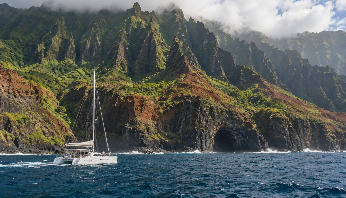
Na Pali Coast
Do
See the Na Pali Coast by catamaran from Port Allen, doors-off helicopter, sunset cruise or the Hanakapiai day hike, with seasons and current closures.
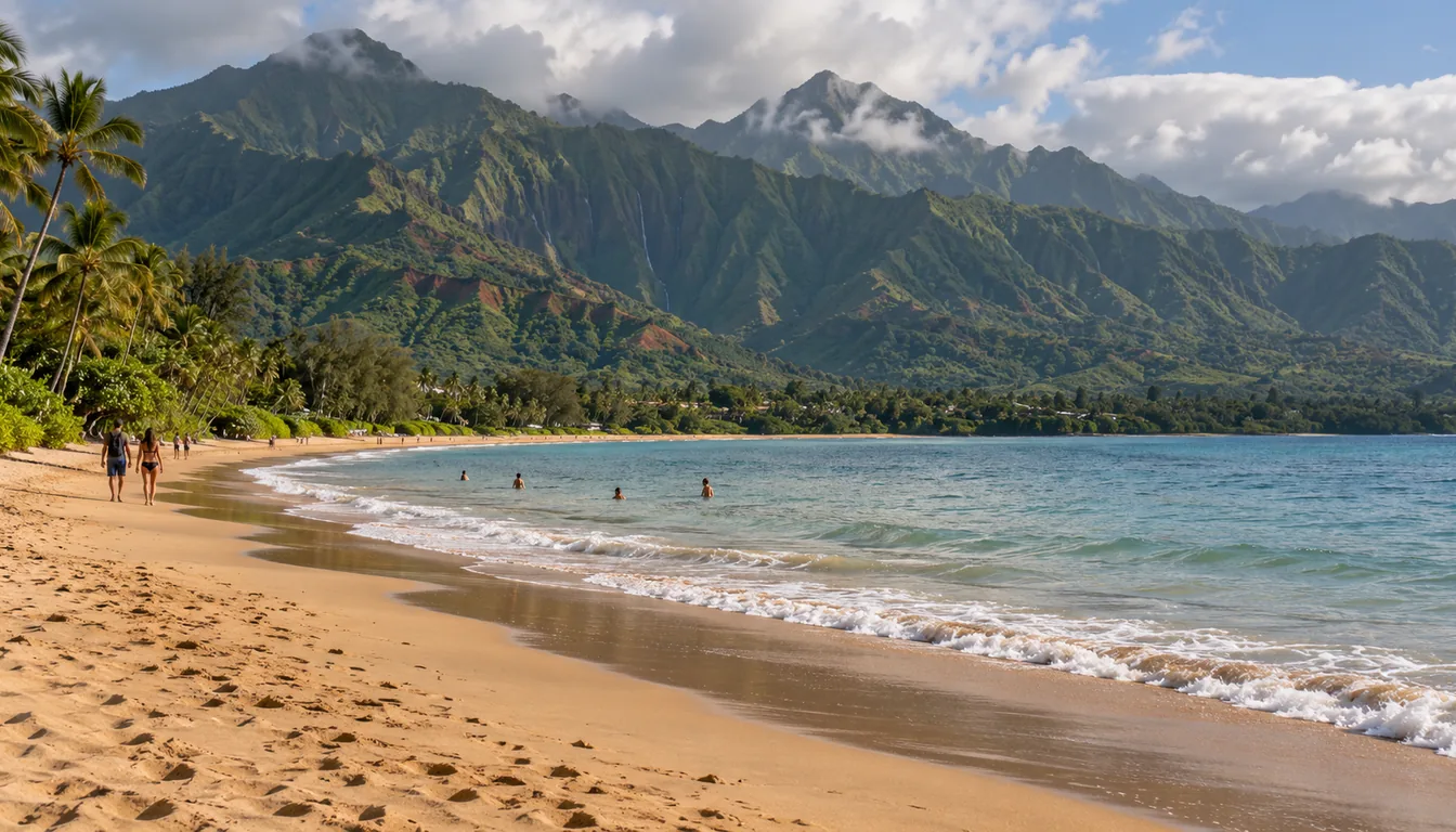
Beaches
Do
Kauai's best beaches ranked: Poipu, Anini, Tunnels, Hanalei, Shipwreck, Glass Beach and Secret Beach, with parking, safety, snorkeling and closure notes.
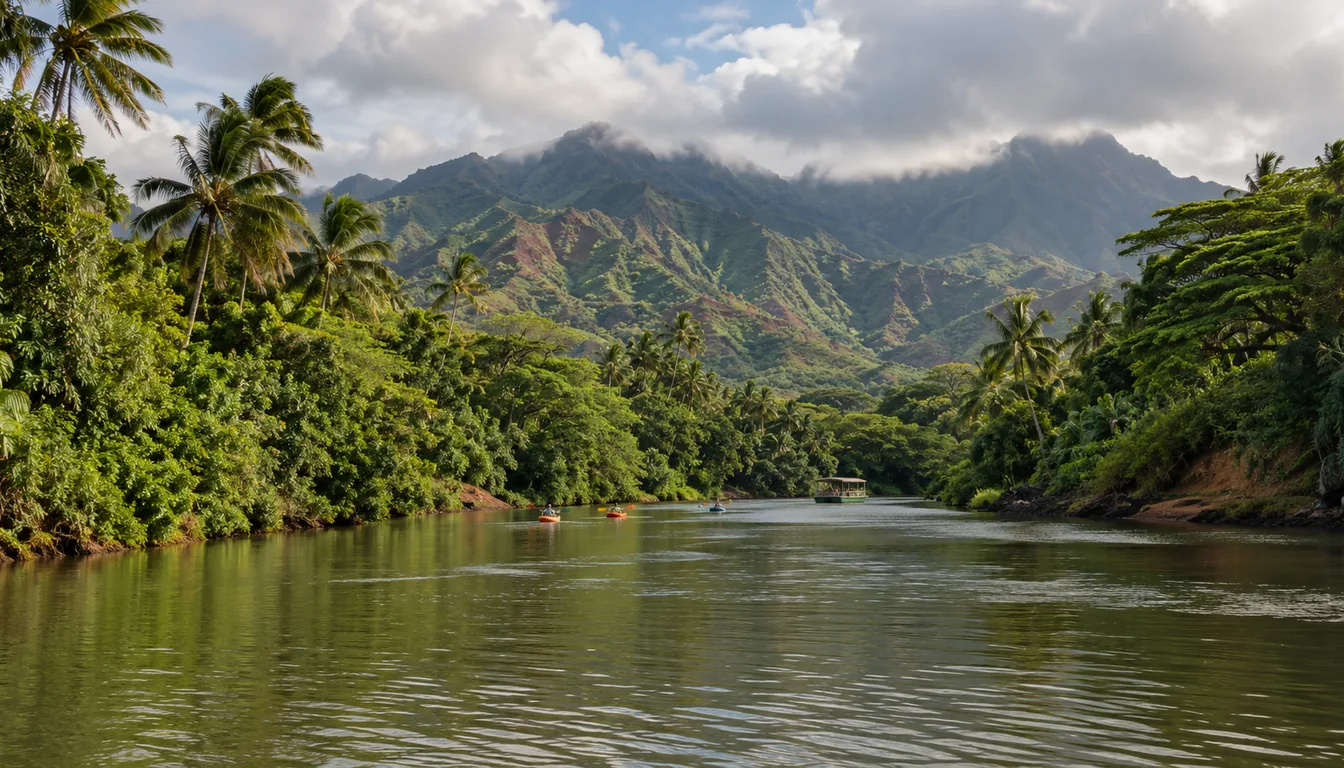
Things to Do
Do
The best things to do in Kauai: Na Pali boat tours, mountain tubing, luaus, ziplines, Wailua River kayaking, free activities and current closures.
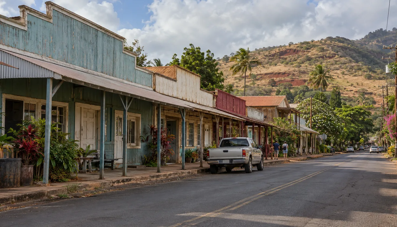
West Side
Regions
Kauai's west side: Waimea Canyon, historic Hanapepe town, Glass Beach, Port Allen boat tours and Polihale, with what is open after Hurricane Lowell.